
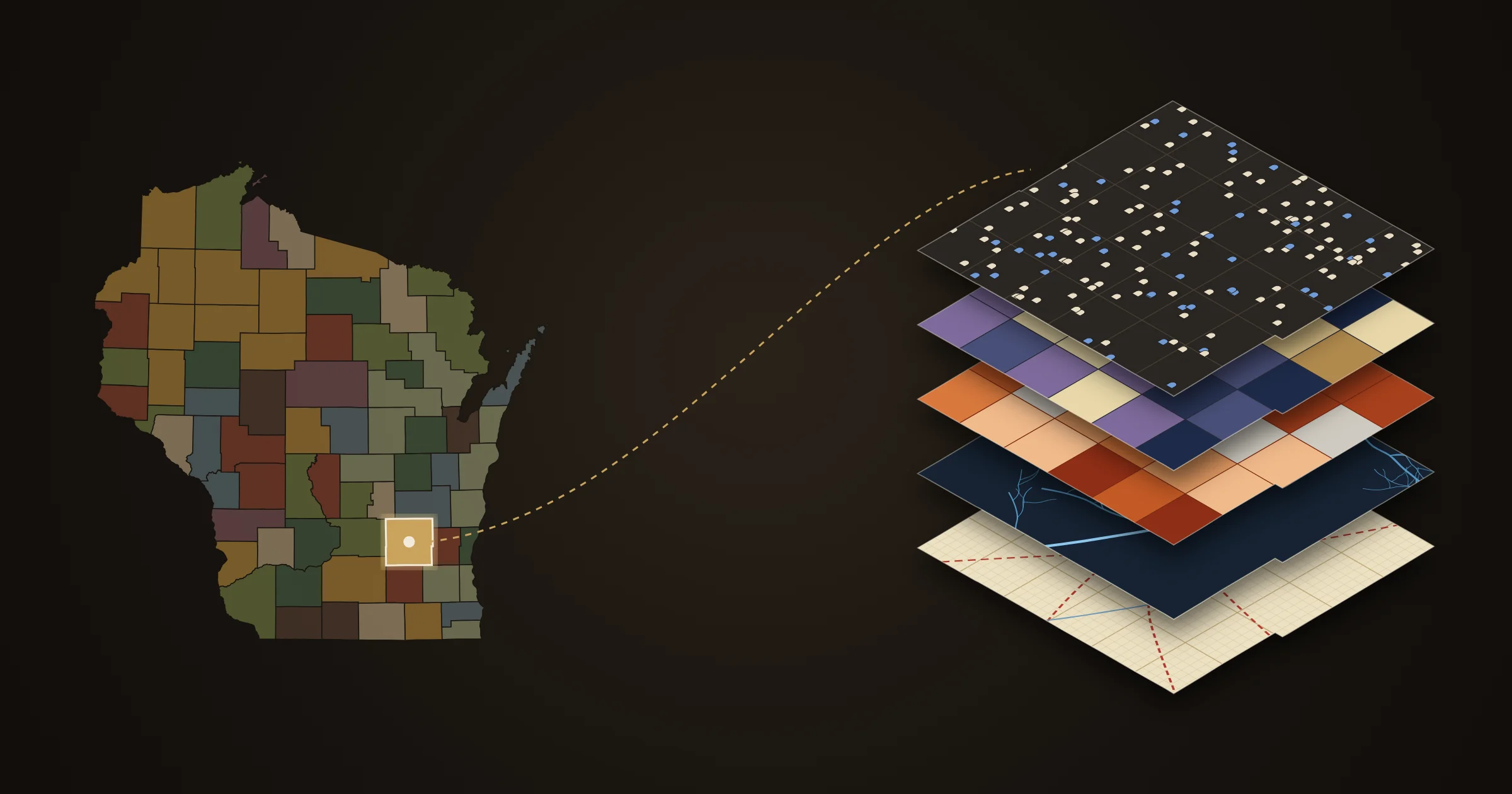

These Wisconsin history maps each tell part of the state’s story, and most of them start close to home in Dodge County. Statewide, you can see how all 72 counties got their names and their lines, follow Native villages and effigy mounds along the Rock River, trace treaty cessions across the continent, and watch tagged birds fly in to Horicon Marsh. Then zoom in to Dodge County, where layered historical maps built from original surveys, land patents, census books, soldiers’ rosters and cemetery records let you explore the county town by town, find the land your family bought, and see where they rest.
Explore the maps
Nine maps across Wisconsin and beyond, with a close-up of Dodge County: every county line in the state, Native homelands of the Western Great Lakes, treaties across the continent and migrating birds over Horicon Marsh, then five layered maps of Dodge County built from surveys, census books, soldiers’ rosters, cemetery records and stream data. Each one opens to the full story, or go straight to the map full screen.
Across Wisconsin · statewide and beyond

Wisconsin County Names
How all 72 counties got their names, and how the lines were drawn, from two counties in 1818 to today.

Where the Rivers Were Home
Native homelands of the Western Great Lakes: villages, camps, effigy mounds, trails and treaties across Wisconsin, Illinois and Upper Michigan.

The Land, Treaty by Treaty
Native land cessions across Canada and the United States, year by year from 1760 to today, linked to the treaty records.

Horicon Marsh Bird Map
Tagged birds and bats heard by the Motus tower at Horicon Marsh, traced along their routes from Chile to Canada.
Dodge County, up close · five maps on the same ground

Dodge County Historical Atlas
Trails, roads, land patents and the old plat atlases: the land before the plow.

Who Settled Dodge County?
Where every town’s people were born, census by census, and the pioneers who came first.

Dodge County in the Civil War
Who went from every town, and where the men who never came home died.

Dodge County Cemeteries
Every burial ground in the county, and the veterans who rest there, from the Dodge County Patriot Project.

Dodge County Rivers
Every river, creek and ditch, lit from the Rock River out to the headwaters, plus every river in Wisconsin.
Statewide Wisconsin history maps
Four maps step back from the county line to the whole state and beyond: how Wisconsin was divided into counties, who lived on the land first, how it changed hands, and the wildlife that still passes through.
Wisconsin County Names
How every county got its name. Click any of Wisconsin’s 72 counties for the story behind its name, the year it was created and the county it was carved from. Then play the timeline and watch 135 boundary changes redraw the state, from two giant counties in 1818 to Menominee County in 1961, drawn from the Newberry Library’s Atlas of Historical County Boundaries. Dodge County’s own story, named for territorial governor Henry Dodge, is one click away.
Read the story · Open the map full screen
Where the Rivers Were Home
The people who were here first. Native villages, camps, effigy mounds and trails across Wisconsin, Illinois and Upper Michigan, with the Rock River at its heart: 519 villages, camps and sites, set beside the 54 land cessions that transferred the land to the United States.
Read the story · Open the map full screen
The Land, Treaty by Treaty
How the land changed hands. Native land cessions across Canada and the United States, year by year from 1760 to today, more than 700 ceded areas, each linked to its treaty record. Find where Wisconsin’s own treaties fit in the larger story.
Read about the map · Open the map full screen
Horicon Marsh Bird Map
Who still passes through. Tagged birds and bats heard by the Motus tower at Horicon Marsh, traced along their routes from Chile to Canada. The data updates every morning.
Read about the map · Open the map full screen
Dodge County, up close
Five maps of one county, drawn on the same ground. Start with the land and its first owners, then the people who settled each town, the men who went to war, the cemeteries where they rest, and the rivers that tie it all together.
Dodge County Historical Atlas
The land before the plow. The atlas lays the county’s old trails and roads over the original land surveys of the 1830s and 1840s, the first sale of every parcel (7,577 land patents to 1868), and the 1873 and 1890 plat atlases. Click a parcel to see who bought it, when, and a link to the original patent. It is the place to start if you want to find your own land, or your family’s, on the oldest maps of the county.
Read about the atlas · Open the map full screen
Who Settled Dodge County?
Where the people came from. Built from 112,170 census records for 1850, 1870 and 1880, this map shades every town by where its residents were born: New York and New England, the German states, Ireland, Wales, Norway and more. Swipe between years to watch Yankee country turn German on the east side of the county. Click any town for its full breakdown and the names of its early settlers from the Dodge County Pioneers roster.
Read the story · Open the map full screen
Dodge County in the Civil War
Who went, and who never came home. Every Dodge County soldier in the state’s 1886 roster of Wisconsin volunteers, 4,357 men, mapped to his home town with his regiment and his fate. A second view follows the 628 who died to the places they fell, from Shiloh to Andersonville, and shows that disease killed more of them than battle did. Lay the 1873 plat atlas underneath to see the farms they left behind.
Read the story · Open the map full screen
Dodge County Cemeteries
Where they rest. All 149 burial grounds Dodge County has on record, from city cemeteries to family plots at the corner of a farm, with the veterans’ graves recorded by volunteers of the Dodge County Patriot Project: more than 760 and counting. Search any cemetery or veteran by name, show the veterans of a single war, and lay the cemeteries over the old surveys and plat atlases to see whose land each one began on.
Read about the map · Open the map full screen
Dodge County Rivers
The water that shaped the county. Every river, creek and ditch, 1,573 miles of streams lit from the Rock River out to the headwaters, plus all 13,329 miles of rivers in Wisconsin for context.
Read about the map · Open the map full screen
Search the records
Two of the maps are tied to searchable databases. The Civil War Soldiers Database lists 4,700 service records by name, town, regiment and company; click any township to open it on the Civil War map. The Dodge County Pioneers roster names 489 early settlers and the year each arrived; click any town to open it on the Who Settled map.
How the maps fit together
The Dodge County maps are drawn on the same ground and share the same historic maps underneath, so a place you find on one lines up with the others. Start with the settlers of a town, see which of their sons went to war, find the land they bought on the plats, and visit the cemetery where they are buried. The statewide maps zoom out from there: the county names map shows where Dodge County’s lines came from, Where the Rivers Were Home and Treaty by Treaty show whose land it was first, and the bird map shows who still passes through. Each map has its own sources page with full credits.
Maps and research by Carl G. Reinemann, One Shot at History. Spot a mistake, or have a story or a record to add? Write to me at oneshotathistory@gmail.com.
