
Trails, Roads and the Land Before the Plow
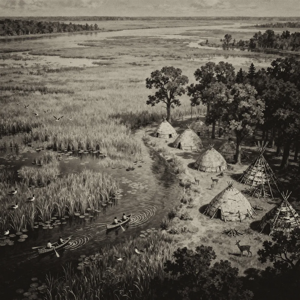
Before the dam was raised, before the marsh was drained and before the railroads came, the country around Horicon looked very different. It was a land of prairie, oak openings and marsh, crossed by Native footpaths that had been used for generations. In the 1830s the first government surveyors and road builders followed many of those same paths.
This interactive Dodge County history map brings together historical sources so you can see that older landscape in one place. Turn on one layer at a time, or stack them and compare:
- Native trails and villages. Trail routes as recorded by Charles E. Brown (about 1930), V. G. Jackson (1941) and Herbert E. Neuenschwander, along with trails noted by the government land surveyors in 1833–1836 and the Indian Ford crossing.
- Early roads, 1836–1840. The territorial and military roads that turned footpaths into wagon routes: Milwaukee to Green Bay, Milwaukee to Dubuque, Milwaukee to Fond du Lac, Fort Atkinson to Fond du Lac, Prairie du Sac to Milwaukee, Fond du Lac to Green Bay, and the Dekorra to Sauk Harbor road, laid out in 1839–40 by the U.S. Topographical Engineers under Capt. T. J. Cram.
- Original vegetation. What grew here when the government surveyors walked the land, mapped by Robert W. Finley from their field notes. In Dodge County, those notes were taken in the 1830s. Shown for Dodge County and for all of Wisconsin. Data points from these field notes were used to create the map of what Wisconsin was like pre-settlement.
- Lake Horicon. The huge lake created when the Horicon Dam was built in 1846, with its named islands. The lake disappeared after the courts ordered the dam taken down, and it was gone by 1869.
- Territorial maps. An early map of Wisconsin Territory, Topographical Map of Wisconsin Territory, Compiled from the Public Surveys by Samuel Morrison, Elisha Dwelle and Joshua Hathaway (1837), laid over the modern landscape.
- Original land patents, Dodge County, to 1868. Who first bought each 40 acres from the government, and when. Parcels are shaded by year, from the first purchases in the early 1840s to the 1860s, so you can watch settlement spread out from the marsh. Click a parcel to see the buyer, the date, and a link to the original patent. Clicking on “View Details” in the resulting General Land Office Records, and you can get a copy of the original paperwork! (example below)

- Springs. Springs recorded in the Wisconsin springs inventory. Many were the water sources that drew trails, camps and early farms.
- Native lands and land cessions. The homelands, languages, and treaty areas of the Native nations of this region, and the land cessions by which the United States acquired them, with the year, the nations involved, and links to the treaty texts.
How to use the map. Use the layers button in the upper right of the map to turn layers on and off. Click any line, shape or point to see what it is and where the information came from; many records link to the original document. Use the search box to find a place by name.
For the best view, especially on a phone, open the map full screen. Sources and credits for every layer are listed below the map.
A word about accuracy. Trail lines are drawn from old maps and written descriptions, and many were sketched by hand decades after the trails fell out of use. Treat them as approximate corridors, not exact footpaths. Different researchers sometimes placed the same trail differently, so where they disagree, both versions are shown. Native land and cession boundaries are approximate and are not legal boundaries. Out of respect for the people buried there, and to protect the sites, this map does not show the locations of burial mounds or archaeological sites.
A word about loading time. A few layers are large, especially the statewide original vegetation, the land patents and the springs, and may take a few seconds to appear after you switch them on.
This map is a work in progress. If you have an old map, a family story, or a document that adds to it or corrects it, I’d like to hear from you. The datasets I use are quite inclusive and large; I have only chosen some of these to start this map. I will be adding more as time goes by
Map credits and sources (click to open)
Sources
Original vegetation: Robert W. Finley, Original Vegetation Cover of Wisconsin (1976), compiled from U.S. General Land Office survey notes. Digital data from the Wisconsin Department of Natural Resources. Simplified for web display.
Wisconsin Spring Database: Swanson, S.K., Graham, G.E., and Hart, D.J., 2019, An inventory of springs in Wisconsin: Wisconsin Geological and Natural History Survey Bulletin 113.
Public land survey records: U.S. General Land Office survey plats and field notes, 1833–1836, including the work of surveyors Mullett, Brink, and Burnham. Held by the Wisconsin Board of Commissioners of Public Lands.
Native trails:
- Charles E. Brown, Wisconsin Indian Trails Map, manuscript map, ca. 1930, prepared for the Wisconsin Archeological Society. Wisconsin Historical Society, call no. H GX902 B (WHi 88487). Trails digitized by Carl Reinemann.
- V. G. Jackson, untitled map of Indian trails, villages, camps and mounds in the towns of Fox Lake, Trenton, Chester, Westford, Burnett, Beaver Dam, Calamus, Oak Grove, Elba, Lowell and Clyman, Dodge County. Drawn by V. G. Jackson, Beaver Dam, Wis., April 12, 1941. Trails digitized by Carl Reinemann.
- Herbert E. Neuenschwander, Hustisford, Wis., hand-annotated U.S. Geological Survey 15-minute topographic map showing Horicon Lake on the 860-ft contour, 1846–1868, and Indian sites, 1970; and Indian Trails and Villages of Dodge County, 1836. Trails digitized by Carl Reinemann.
- Herbert E. Neuenschwander, Hustisford, Wis., hand-annotated Indian Trails and Villages of Dodge County, ca. 1836. U.S. General Land Office survey plats and field notes, 1833–1836, including the work of surveyors Mullett, Brink, and Burnham. Trails digitized by Carl Reinemann.
Early roads: U.S. Army Corps of Topographical Engineers, under the supervision of Capt. Thomas J. Cram, Wisconsin, 1840, drawn by Jos. D. Webster et al. National Archives, Record Group 77, Civil Works Map File (catalog ID 109186558). Route description from Capt. Cram’s 1840 report on the roads of Wisconsin Territory. Road digitized by Carl Reinemann.
General Map to Accompany the Report of Capt. T. J. Cram, T.E., on the Survey of the Boundary Between Michigan and Wiskonsin (drawn by Lieut. Webster). New York Public Library Digital Collections.
Village sites and Indian Ford: Original handwritten notes and maps drawn on a plat map book of 1879 (currently not enabled to protect sacred sites). C. Reinemann collection.
Lake Horicon and islands: Digitized by Carl Reinemann from historical maps of Lake Horicon, using LiDAR and elevation data set at dam height in 1855 per surveys.
Wiskonsin Territory 1837 map: Topographical map of Wisconsin Territory / compiled from the Public Surveys on file in the Surveyor General’s office … by Samuel Morrison, Elisha Dwelle and Joshua Hathaway; engraved by Doolittle & Munson. American Geographical Society Library Digital Map Collection, ID am004826.
Original land patents (Dodge County, to 1868): Wisconsin Department of Natural Resources, Wisconsin Original Land Patents Geodatabase. Federal patents from the U.S. Department of the Interior, Bureau of Land Management, General Land Office Records. State swamp, school, and university land sales from the Wisconsin Board of Commissioners of Public Lands. Patentee names are shown as recorded.
Land cessions: U.S. Forest Service, Tribal Lands Ceded to the United States (2022), licensed CC BY 4.0. Based on Charles C. Royce, Indian Land Cessions in the United States, Eighteenth Annual Report of the Bureau of American Ethnology (1896–97); treaty texts from Charles J. Kappler, Indian Affairs: Laws and Treaties; Royce maps courtesy of the Library of Congress; tribal names from the National NAGPRA Program. Boundaries were drawn by federal surveyors and reflect the government’s view of each cession, not the Nations’ own understanding of their lands.
Treaties, territories and languages: Native Land Digital (native-land.ca), GeoJSON data set. Native Land maps are not authoritative or legal boundaries; they are a starting point for learning. To learn more, contact the Nations themselves.
Basemaps
OpenTopoMap: map data © OpenStreetMap contributors, SRTM; map style © OpenTopoMap (CC-BY-SA).
U.S. Geological Survey, The National Map (USGS Topo and Imagery).
Map created by Carl Reinemann, One Shot at History, using QGIS, qgis2web and Leaflet. © 2026